Zoom
 Pan
Pan
Africa Satellite Wall Map
In Stock
by Outlook Maps
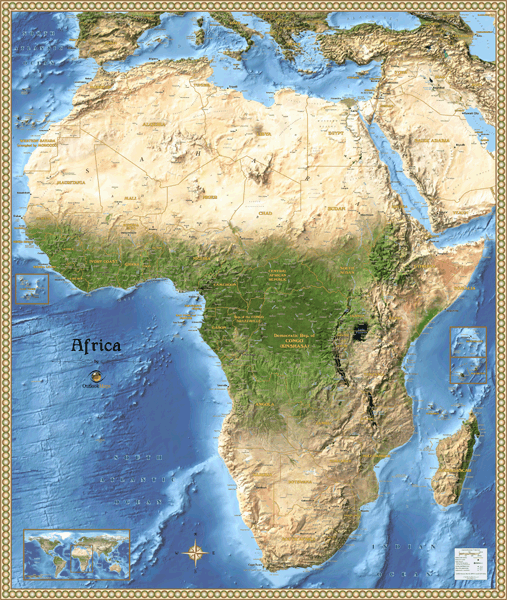
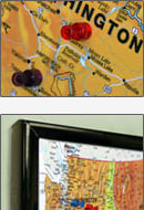
This stunning satellite map displays Africa's natural beauty as seen from space. All of Africa's landforms can be clearly seen, including the Nile River and Delta, Sahara Desert, Congo Jungles, and more. This satellite map also serves as a reference map by including tons of geographic information.
This map includes the following features:
- NASA Satellite Imagery, enhanced with 3-D shading
- Countries
- National Capitals
- Cities, labeled to show relative size and importance
- Water Features: Rivers, Lakes, Bays, etc.
- Land Natural Features: Mountain Ranges, Deserts, Islands, etc.
- Peaks and Summits, labeled with elevation
- Bathymetry (Ocean Floor) Shading
- Insets showing Island Nations
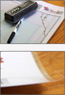
The Wall Map of Africa Satellite is printed on 24lb. premium coated bond paper. It is also laminated on both sides using 3mm hot lamination, which protects your wall map and allows you to write on it with dry-erase markers.
Item Code: Africa-Satellite
In Stock
Choose Your
Wall Map
Wall Map
Choose Your
Map Sizes (inches)
Map Sizes (inches)
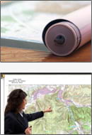
Delivered as FAST as Next Day!


Choose Your
Finishing Options
Finishing Options
38x45
48x57
60x72
Laminated Map
$83
add to cart
add to cart
$118
add to cart
add to cart
$158
add to cart
add to cart
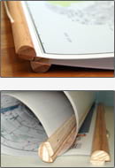
...with Wooden Rails
$133
add to cart
add to cart
$178
add to cart
add to cart
$233
add to cart
add to cart
...Mounted Maps
$313
add to cart
add to cart
$653
add to cart
add to cart
$773
add to cart
add to cart
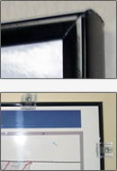
...Magnetic Maps
$388
add to cart
add to cart
$768
add to cart
add to cart
$953
add to cart
add to cart
Looking for other Finishing Options?
ReStickersBasic FramedExec. FramedPlastic RailsSynthetic Maps
Other Wall Map Finishing Options
ReStickers
$225
add to cart
add to cart
$325
add to cart
add to cart
$445
add to cart
add to cart
Unfinished
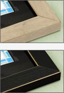
...Basic Framed
$383
add to cart
add to cart
$743
add to cart
add to cart
$883
add to cart
add to cart
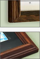
Dark Oak
...Executive Framed
$438
add to cart
add to cart
$813
add to cart
add to cart
$973
add to cart
add to cart
...Plastic Rails
$175
add to cart
add to cart
$275
add to cart
add to cart
$495
add to cart
add to cart
Archival Paper
$57
add to cart
add to cart
$71
add to cart
add to cart
$123
add to cart
add to cart
Synthetic Maps
$150
add to cart
add to cart
$295
add to cart
add to cart
You might also like these Continent Wall Maps:
X
Item Successfully Added to Your Cart
Africa Satellite Wall Map
$85.00
Outlook Maps
Qty: 1